Last day on the bike and it started out pretty interesting. No problem getting up with our usual 6:15 alarm, unplugging the Scala bluetooth headsets, ContourHD helmet cam, iPhones, camera chargers and laptop from the Belkin Mini Surge Protector and Callpod Chargepod, and packing everything into our three hard cases and tank bag where we’ve figured out pretty precisely where everything fits. The process of carrying them downstairs, Ann takes a side case and the tank bag along with her helmet and jacket, I take my stuff and the top case and other side case, went off as it has for the past several days.
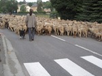
But when backed the bike out of the garage and turned out of the hotel driveway, everything was eerily quiet. It occurred to me that we may have missed a time change or looked at the wrong clock when we got up. Just then a pickup appeared around the bend that leads to the main street of town, driving at about 5 miles an hour and straddling the centerline of the two lane road. Yellow lights on the roof blinked like a pilot car leading a doublewide trailer down the highway, but instead of a sign reading “wide load,” this truck had a diamond-shaped orange sign with a black profile of a cow on it.
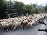
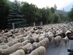
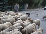
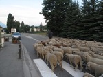
Then the flock came around the corner…
We pulled up on the sidewalk but cars behind us were swallowed up as the stream of fleece engulfed them. Of course, I had left the SD card for the camera in the laptop after downloading pictures the night before, so I had to tear through the tank bag to pull it out and hand it to Ann while I turned on the helmet cam.
Needless to say, the street smelled like “andouillette” after they’d passed.
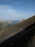
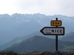
Indeed, the signs corroborated what I’d been telling Ann; that La Bonnette, the highest paved road in Europe, was the shortest route between our current location and Nice. We really had no choice but to go over it. As we climbed the switchbacks, views opened up behind us of the mountains to the north which we’d come through the day before.
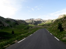
After a 5 or 6 consecutive hairpins, I bet the cyclist we passed on the way up was happy to see things flatten out in a high valley.
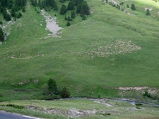
At least for 500 meters when it started into the next batch of switchbacks. Sheep on the far slope…
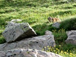
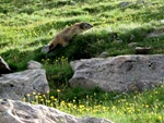
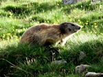
And big fat marmots everywhere.
And then an evening of searching for marmot videos on YouTube happened… This was a favorite.
Wait, what was I talking about? Oh yeah! La Bonnette!
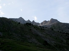
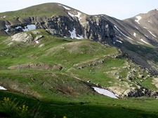
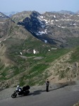
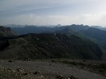
As the road climbed higher, trees disappeared and snow was left on the peaks and shady areas. On far slopes, people (or possibly aliens) had created designs with rocks. See the stars?
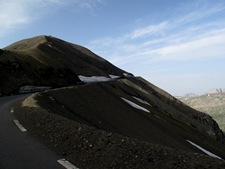
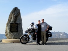
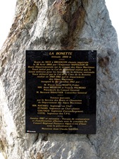
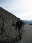
At the top, the Cime de La Bonnette road winds around dark, sinister sand dunes of rock to a marker.
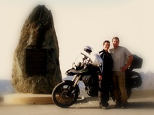 Some fun with effects in Picasa.
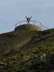
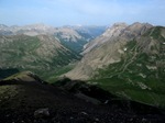
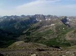
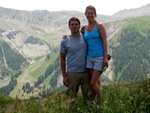
From the marker, I took the 10 minute trail to the top for the 360 degree view.
The ride to the top and view on video…
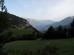
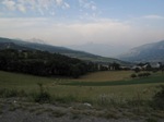
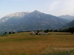
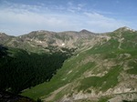
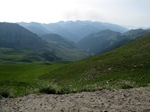
From the top of La Bonnette, the next direction was clear and we descended through bright green meadows with views of far off peaks.
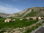
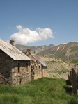
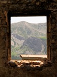
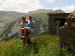
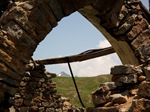
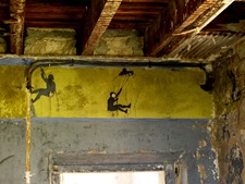
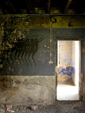
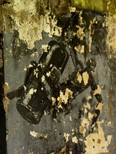
Not too far down, the road run right through the middle of a group of abandoned buildings, Camp Des Fourches, a military barracks built between 1890 and 1910 and occupied year round through WWII. A few days later, my brother’s family and Ann and I would drive back over La Bonnette to get to Gap to see the finish of a Tour de France stage. On the second time through, we stopped to take these pictures.
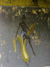
Paintings on the walls inside the abandoned buildings. I can’t find any info on when they were done.
As we wound down the hill and towards the coast, we routed towards the Holiday Bikes in Nice as the temperature started to climb. By the time we reached the flats and were 45 minutes from Nice, we were both sweating in our full riding gear and hatched an alternate plan. Mon. Garmin confirmed that 2 exits up, a right turn into the hills and a curvy road would have us at the Moulin de Boursac where we’d be staying for the next two weeks in less than 25 minutes. The caretaker said the cleaners and gardeners who would be there didn’t speak English, but we were welcome to sit by the pool until it was ready. We could return the bike after a quick swim right?
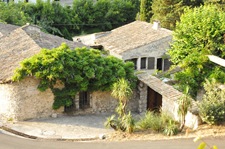
We found the Moulin around a sharp hairpin turn at the bottom of the aptly named Decente des Moulins in the medieval hill town of Vence. Unfortunately, we found the heavy metal gates locked. We could hear people moving around inside the house and a weedwhacker whacking away in the yard but no one could hear the buzzer over the din. It took less that 3 minutes of being trapped in the direct sunlight of the driveway for me to hop up onto the top of the gate, walk across to the roof of the house and jump down through the trellis on the other side.
Once inside, we stripped gear from ourselves and the bike, including the tank bag straps and GPS mount and battery connection I’d brought from home, and piled it in the shade. Though we’d been commenting that we thought we’d packed pretty well, wearing everything we’d brought, it was amazing we could have had all that stuff with us on the bike.
When the gardener took notice of us and came around the corner, we greeted him with our sing-songiest French “Bon jour!” and started to mime and stutter “We… uh… tonight… stay house… here. Rent moulin. Arrive early.”
“Fine with me,” he said in perfect English. “I’m just the gardener.”

