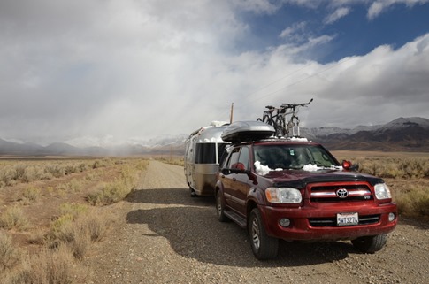
There’s not much between Boise, ID and Winnemucca, NV, but this was the last week of our 8 week loop from Northern California up through the Pacific Northwest into Canada and back down through the Rockies, and that was the quickest route home. Still, we’d been in RV parks for the past 5 nights, and I couldn’t stand the idea of setting up under the glow of the casino lights in Winnemucca, especially as one of our last nights on the road.
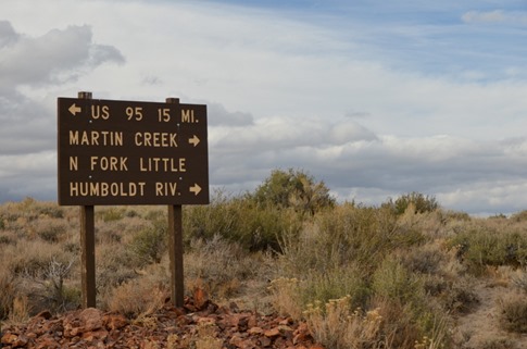
“You see any green on the map between here and Winnemucca?” I asked Ann sitting in the passenger seat with the oversized road atlas open on her lap. She pointed to a little patch just off Highway 95 south of the Oregon border in Nevada. “Humbolt-Toiyabe National Forest. And there’s a little camping tent. Take Highway 290. It should be coming up soon.” When I peeked over to take a look, I noticed that “Highway 290” was marked as a dashed double line. It was dirt. “Oh well, couldn’t hurt to check it out. We can always turn back.”
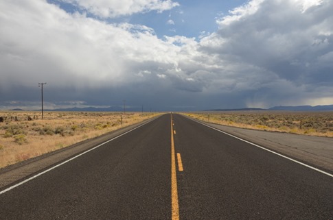
Indian Creek/Canyon Creek Rd was our turn off 95. It was only Highway 290 on the paved section coming from the south to the innocuous-sounding Paradise Valley, south of the National Forest. Our Garmin Zumo GPS - the one I had originally purchased and loaded with off-road maps for a three week, mostly dirt, dual-sport motorcycle trip from California to Colorado and back – was happy to route us along this gravel road leading straight from the pavement to the mountains rising on the horizon.
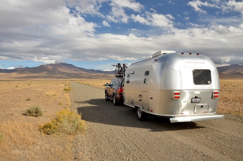
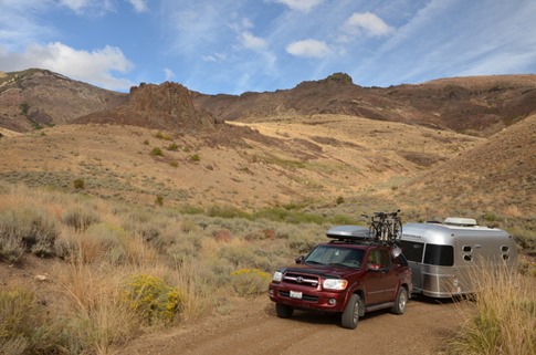
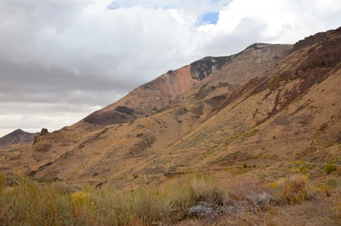
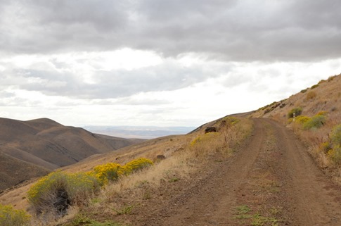
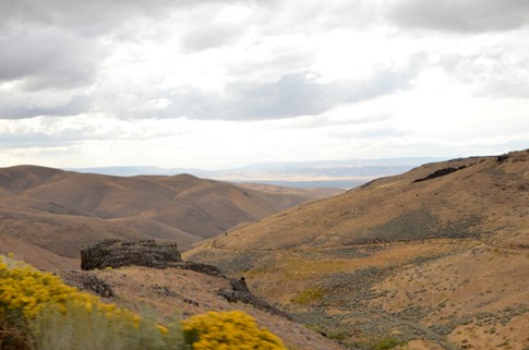
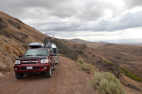
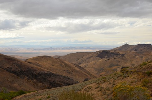
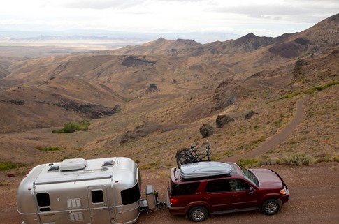
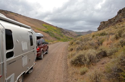
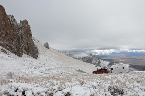
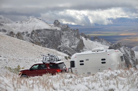
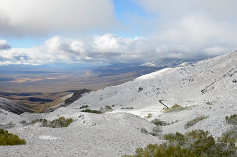
As we got few miles in, the road started to climb. The GPS showed some Z-shaped hairpins a little farther up, but we made noted to each other when we passed wider sections of road where we *might* have been able to turn around if needed. But the scenery was beautiful and even the most jagged zig-zags were easily passable with the trailer. Look for the road we’d come up on the hillsides in the pictures below.
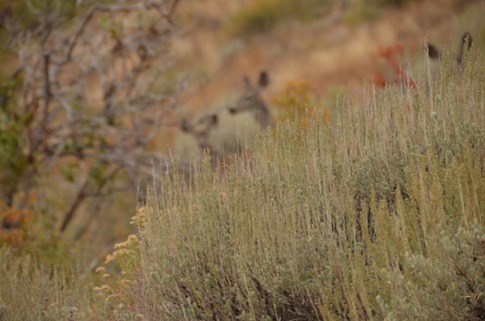
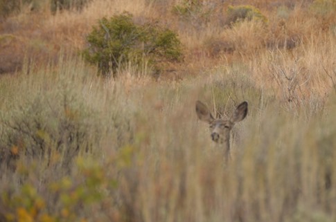
Around a corner, four or five deer froze on the bank above us and then bounded into some high brush.
More switchbacks and some glory shots of our home on wheels, and we reached a saddle that led to a high plateau.
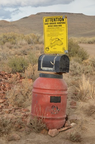
We’d been given strange looks by a few pickup truck drivers draped in camo on their way down, so we figured the area might be popular with hunters. This sign about 15 miles in seemed to confirm that. It asks that Sage Grouse hunters deposit the wings of their kills in this bin to be used in some kind of study by the Nevada Division of Wildlife.
After about 9 more miles on a road that continued to be in great condition, we climbed a bit more out of the high valley. We’d dropped a pin on the GPS about where the little tent icon had been on the road atlas but knew it was just a guess. We’d seen a couple other groups, one with a trailer so we knew we weren’t completely crazy, camped along spur roads, so we figured in the worst case, we could just pull off and set up camp.
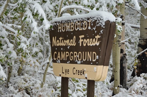
But within half a mile of where we’d guessed it would be, we saw a sign for the Lye Creek C.G.. We turned right and followed the road steeply down into a canyon and around a few more tight switchbacks, really hoping that stood for “campground.” At the bottom, we were relieved to see a National Lye Creek National Forest Campground sign, a fee station just like the ones we’d been using everywhere else and all ten campsites completely vacant. We picked a nice pull through site, got levels and put down the stabilizers. I fried up some ground pork in onions and garlic and added them to the last of the homemade pesto we had in the freezer to go on some pasta. In a celebratory mood, I opened one of the bottles of red wine we’d asked Leigh and Brian to pick out for us on their wine tasting tour in Kelowna, BC, and we beamed “The Great Gatsby” from the laptop to the Apple TV. In bed by about 10, we heard the light “tink tink” of a few rain drops on the aluminum skin of the trailer as we drifted off to sleep in the complete silence of our secluded campsite.
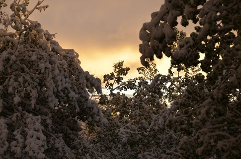
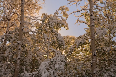
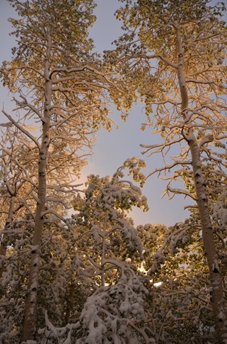
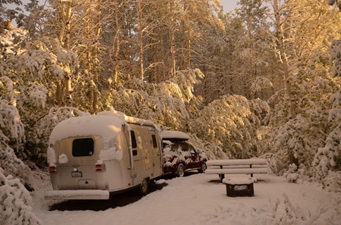
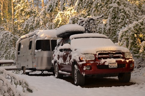
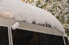
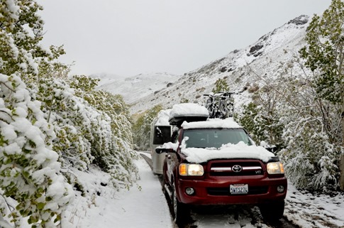
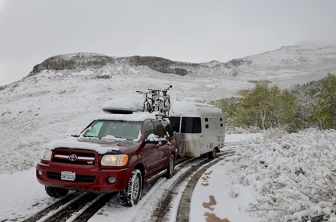
Wynne let out her first sounds from the other side of the heavy velvet curtain that divides our bed area from the kitchen and dinette where she sleeps in her portacrib around 5:20 am. We’d crossed into the Mountain Time Zone the day before, but apparently no one had told her that everything was an hour earlier. It was my morning to get up with her and let Ann sleep, so I put away the portacrib, made her some scrambled eggs while my coffee percolated and slumped down onto the gray shag rug to keep her entertained with toys from the two baskets stored in the cubby under the fridge. An hour later, I saw the first glow of morning light from behind the semi-opaque window in the trailer door. I went to the dinette to slide the two curtain panels to either side and, for a second, thought I was looking at a reflection of the white folds of the curtains in the window. When I leaned forward to peer through the deep tinting of the solar rock guards on the front windows, I saw something I completely didn’t expect. The white folds were a thick coating of snow on the bikes on top of the car. I stuck my head out the front door to find this…
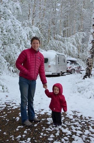
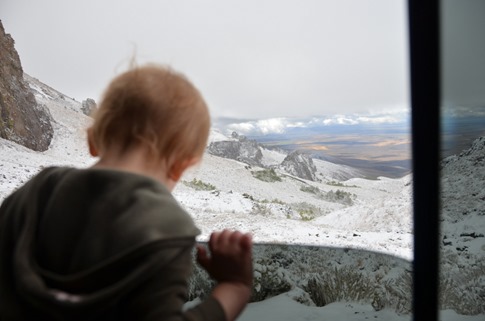
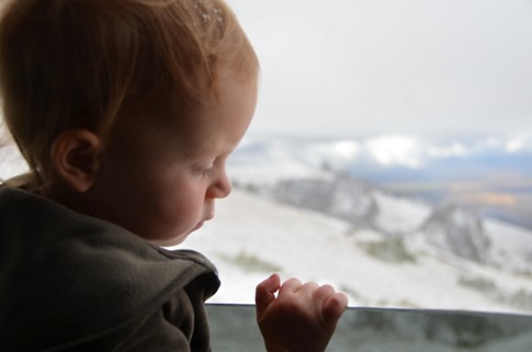
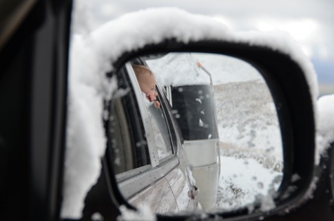
I let Ann sleep a little more as I considered our circumstances. When I heard her stirring, I said said, “Hey, do you see anything weird out the window?” Her face was priceless. We couldn’t really help but laugh, but quickly started evaluating our options. Well, that and taking pictures…
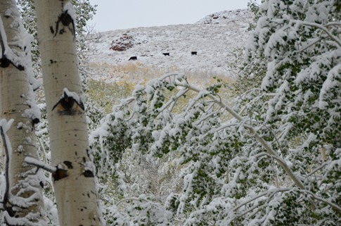
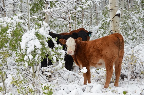
Some of the grazing cows seemed just about as surprised as we were. Wynne just kept repeating “At’s zat? At’s zat?” as she pointed at the snow.
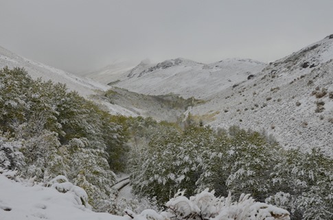
The facts were that we’d come in about 24 miles on a dirt road, including several steep sections. We’d come down into a canyon to get to the campground at 6500 ft where there was 4-6 inches of snow on the ground. We needed to check the GPS, but we probably had about the same distance to go before reaching the pavement in Paradise Valley, and that road would likely have to climb back up to the high valley and continue up and out of it before descending. The current temperature was 29 degrees.
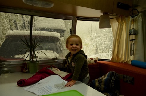
Back in the warm trailer with Wynne playing happily at the dinette, I took some inventory of our resources. We’d left Boise with full propane and water tanks including the two 6 gallon jugs we keep in the truck and had were probably at 3/4 of a tank. With plenty of propane and snow on the ground, we could melt all we’d need. We’d been boondocking one night and were down to just above 12 volts on the battery. We could recharge with our 120 watt portable solar panel, but not unless the clouds cleared. Even if we killed the battery at some point which would disable the blower on the furnace, we had a catalytic heater that could be connected to via a quick connector I’d teed off from the fridge propane line. On top of that, we had the “Mr. Heater” in the roof top box and could always heat water on the stove or in the hot water heater. Staying warm wouldn’t be a problem. With the food in the fridge, cupboard and the extra stuff we keep in our “pantry box” in the bottom of the wardrobe, we’d only have a problem if we had to cater a party for more than 20 or so (no Donner Party jokes). Though we’d run out of episodes of Downton Abbey a couple weeks ago, we had six more seasons of the Sopranos. Yes, we were gonna be okay.
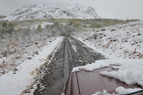
Now to figure out if we could get out of there. Originally, we’d thought we’d have to forgo this little side adventure when the GPS didn’t show any gas between the Nevada border and Winnemucca and, according to my rough calculations, we’d have been lucky to roll into town on fumes, much less set off into the wilderness. Just then, a Sinclair station that wasn’t listed appeared, and we filled up just before heading into the mountains. We had plenty of gas, so we decided that the smart thing to do was unhitch and take the truck up the road to see how deep the snow was. I handed Ann one of our walkie talkies and, while the banter wasn’t quite as entertaining as it had been on the Canada Caravan, we were able to talk as I made my way under the trees hanging down over the road heavy with snow to the top of the canyon. No problem and now we had some tracks in the snow. We hitched up and pulled out.
We’d been in four wheel drive since coming up the hill and could feel the tires slipping and gripping, particularly on the sharp turns and with the added weight of the trailer. Oddly enough, I’d just had an email conversation with Josh Works about whether he liked his F150 or ever wished he had something else. His only comment was, “Next time I’d get 4WD. We’ve gotten ourselves into some slippery situations before in National Forests.”
Looking back into the canyon, it was pretty cool to see our tracks coming out. I mean, once we’d made it to the main road, I mean.
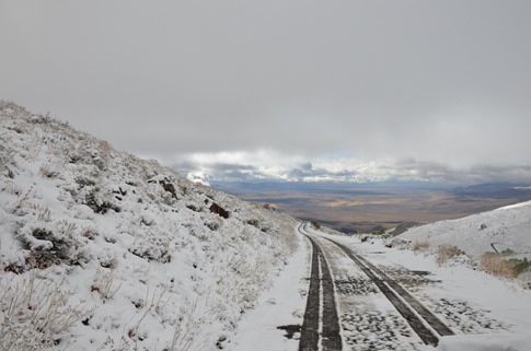
As we climbed, there was snow all around but most of the stuff on the road had been turned to slush by a few others who’d gone out before us.
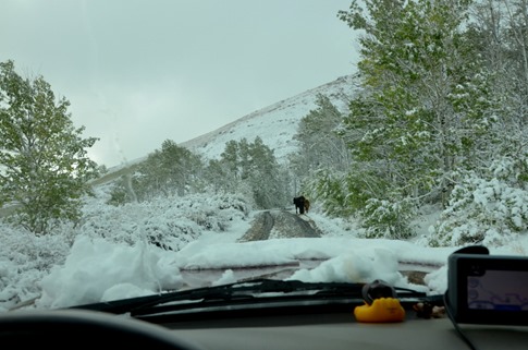
We came across a group of cows on the road who didn’t seem at all concerned about their leather getting wet. Ann and I had had a brief theoretical talk earlier about various methods of taking down a full size cow with the tools we had if we’d been stuck up there for longer. After dismissing the idea of hitting one with the car, we finally decided we’d try to hit it with bear spray so Ann could go for the jugular with my grandpa’s Navy knife. Or we’d just eat mac and cheese.
On the next series of switchbacks, an orange symbol with a car and squiggly lines behind it appeared on the instrument panel and the truck lost power. Some kind of anti-skid protection had kicked in. I pushed the button for the low range four wheel drive and continued slowly up the incline.
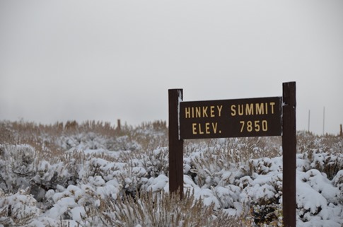
Finally, we reached the summit. From one side, we could see the name and elevation.
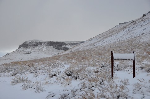
From the side where the wind was blowing, not much.
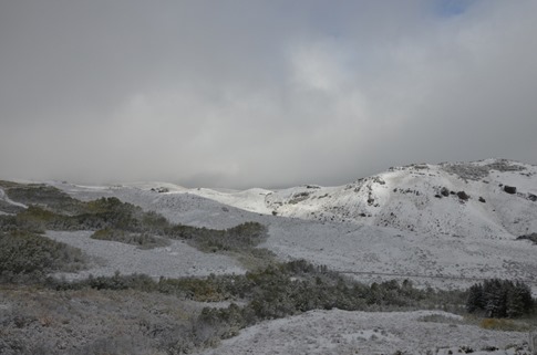
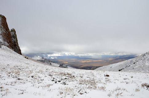
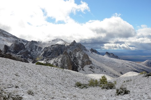
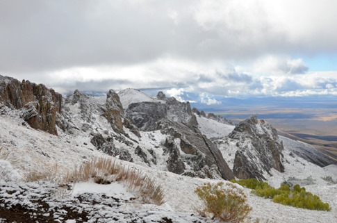
But the view down the other side was spectacular (and a nice reminder that there still was ground somewhere not covered in snow).
On the way down, we both breathed a sigh of relief. As for Wynne, it’s hard to fluster her.
In hindsight, it was not particularly smart of us to head up into these hills late in September without checking a weather forecast. Then again, I was pretty happy with our preparedness had we had to hang out for a few days or longer in the trailer, and it’s hard to beat the adventure as our 8 week road trip comes to an end. These views coming down the north side of Hinkey summit were some of the nicest we’ve had on the trip, and that’s saying quite a lot…
Still, we were happy to back on dry land and heading towards home.

